This package contains convenience functions I have written to help deal with spatial data spread across multiple UTM zones and aggregating raster data to overlapping polygons.
Installation
To install the latest release on CRAN:
install.packages("RWmisc")You can install the latest development version from GitHub with:
library(remotes)
install_github("jayrobwilliams/RWmisc")
Examples
The functions contained in this package serve to make working with spatial data on large scale easy, as when carrying out cross-national analyses with spatial data. The function projectUTM can project sf and sp objects in latitude, longitude coordinate reference systems, and can even re-project already-projected objects in other projected coordinate reference systems.
library(sf)
#> Linking to GEOS 3.8.1, GDAL 3.1.4, PROJ 6.3.1
library(RWmisc)
nc <- st_read(system.file("shape/nc.shp", package="sf"))
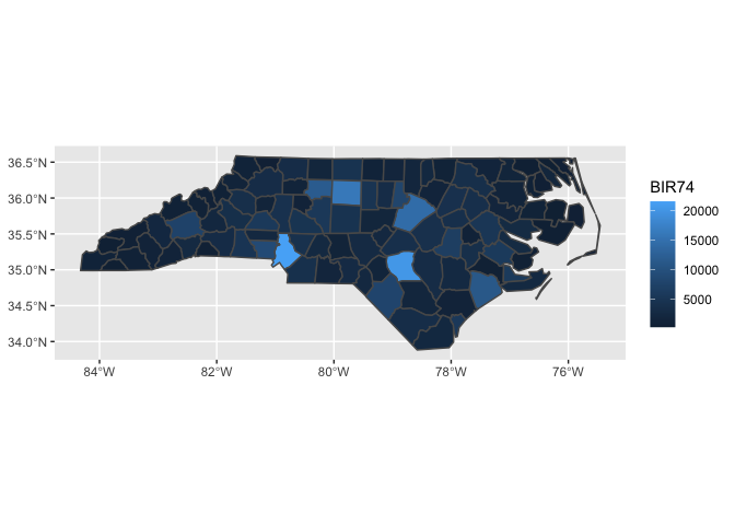
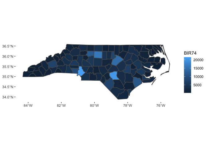
projectUTM(nc)The theme_rw function is the minimalist theme I often use for figure in my work. While it is useful for standard plots, it is an especially large improvement over the ggplot2 defaults for maps.
library(ggplot2)

ggplot(aes(fill = BIR74), data = nc) +
  geom_sf()

ggplot(aes(fill = BIR74), data = nc) +
  geom_sf() +
  theme_rw()